AI agents flagged a possible unmapped Maya site in NASA LiDAR data in 72 hours
Pietro Miotti says 48 agents scanned 1,200 km2 of NASA LiDAR data and flagged a hilltop absent from INAH records. A permitted field check is the next step.
By Ryan Merket · Published
Primary source: x.com
Why it matters
Miotti describes using general-purpose agents to find open data, inspect 1,200 km2 of imagery, check archives and draft a report to a national institute in 72 hours, with no specialist model involved.
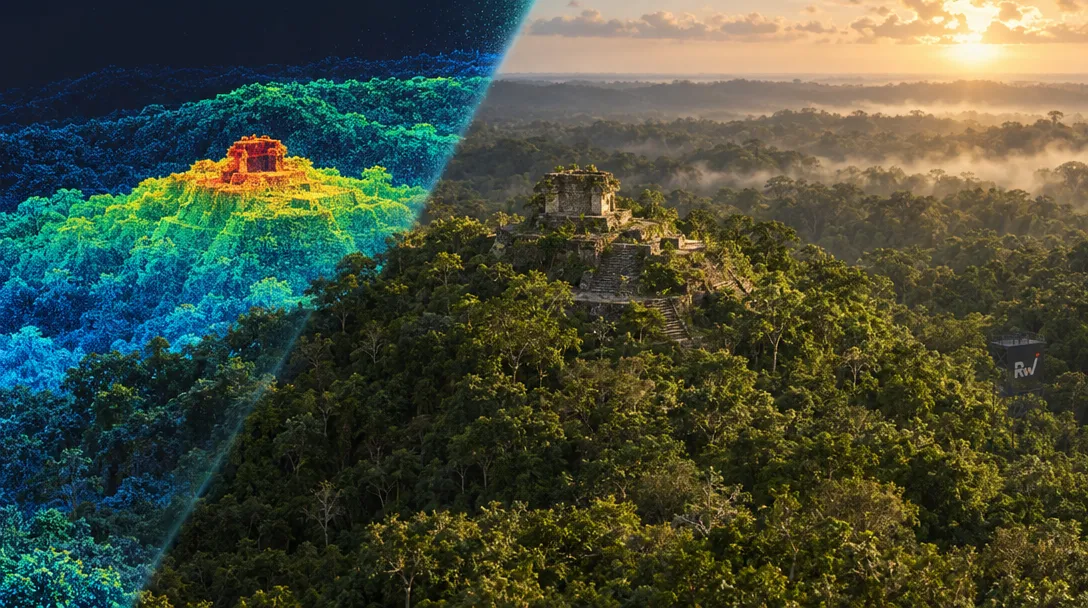
Pietro Miotti says 48 agents scanned 1,200 km2 of NASA LiDAR data and flagged a hilltop absent from INAH records. A permitted field check is the next step.
When you purchase through links in our articles, we may earn a small commission. This doesn’t affect our editorial independence.