Ai2 releases satellite embeddings that let mapping teams skip repeat model runs
OlmoEarth v1.3 supplies precomputed 10-meter features and a browser-based mapping tool. Coverage is global for 2024 and 2025, near-global for 2023, and limited to selected countries for 2017-2022; Ai2 says its embeddings led two named competitors on most of its evaluations.
By RuntimeWire Staff · Published
Primary source: Hugging Face Newsroom
Why it matters
Precomputed features let mapping teams test many downstream questions without rerunning a large satellite model for each one. OlmoEarth makes that data publicly accessible, but the uneven year-by-year coverage and artifact license restrictions shape where and how teams can use it.
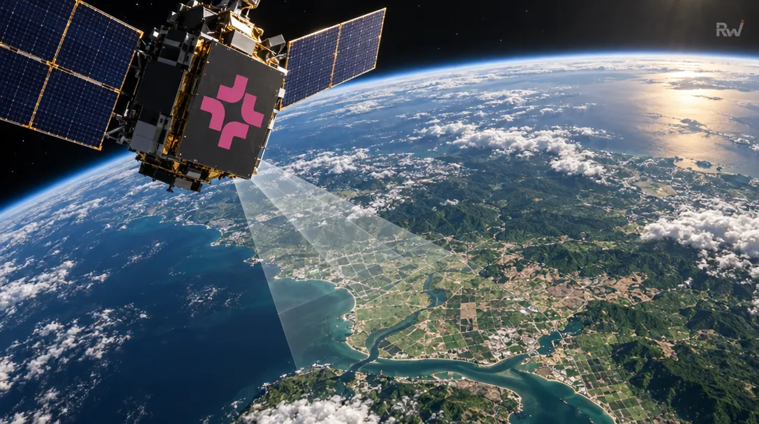
Ai2, the Seattle nonprofit founded in 2014 by late Microsoft co-founder Paul Allen, released OlmoEarth v1.3 on October 22nd. The release pairs a satellite model with precomputed annual embeddings: reusable features intended to let researchers make new maps without running the model over satellite imagery again for each task.…
When you purchase through links in our articles, we may earn a small commission. This doesn’t affect our editorial independence.